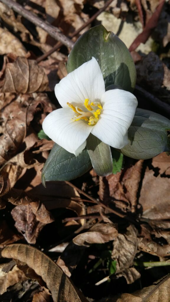
Little Sewickley Creek outside of Herminie, Westmoreland County This is a favorite trip for early spring ephemerals and Snow Trillium. The walk is along a muddy old railroad grade with some minor obstacles. Directions: We will meet at a large community parking lot and then carpool about 1/2 mile downhill to the walking trail.
GPS coordinates of the parking lot = (40.26126, -79.72123). This is across from the Dairy Queen (1493 Herminie West Newton Rd) and the local convenience store/gas station. If you are late, you can join us at the trailhead (40.26050, -79.72700), but parking may be tricky.
GPS coordinates: 40.26126, -79.72123.
If you need written directions to the site, please contact Loree at loreespeedy@gmail.com or 724-518-6022.
Directions: From Pittsburgh, travel PA 51 south to its junction with PA 201 (just after Bills and Willowbrook Plaza). Continuing on PA 51, travel 2 additional miles to the traffic light for Concord Ln (Honda and Ford car dealership on right) and turn left. Traveling on Concord Ln, turn left onto Municipal Dr. Continue about 0.6 mile past Timm’s Lane, and turn left into the main entrance to Cedar Creek Park. Follow this road downhill, cross the bike trail, and turn left to continue through a series of parking lots until you reach the farthest parking lot, near the Gorge Trail.
Monroe Trailhead, Butler Freeport Trail, Butler County
Directions: From Pittsburgh: take PA-28 North to Exit 17 (PA-356/Butler/Freeport). At end of ramp, turn right to travel PA-356 for a little less than a mile. At the Sheetz, turn right onto Monroe Road and travel about 0.8 mile to the parking for the Buffalo Creek Nature Center on the left.
GPS coordinates: 40.7076, -79.7131
This trip could be canceled due to unsafe driving conditions with ice and snow (BUT THE FORECAST LOOKS PRETTY GOOD!); to learn if the trip is canceled when weather conditions are uncertain, please call or text Loree at 724-518-6022 the day of the hike.
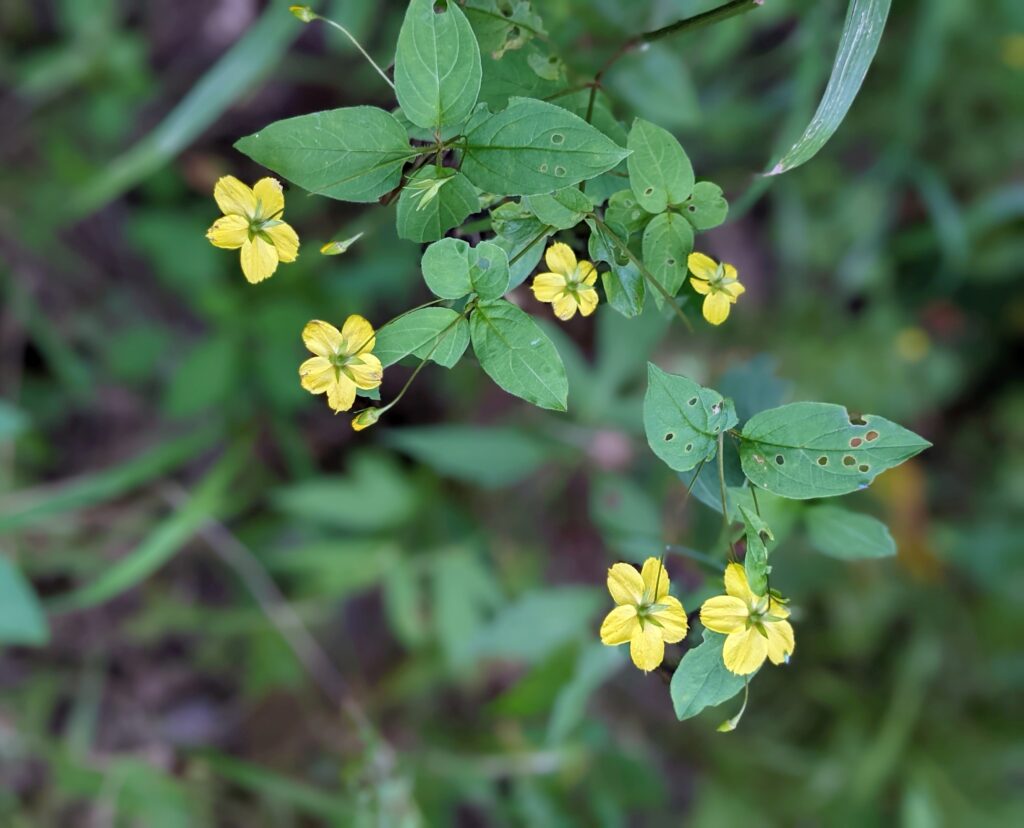
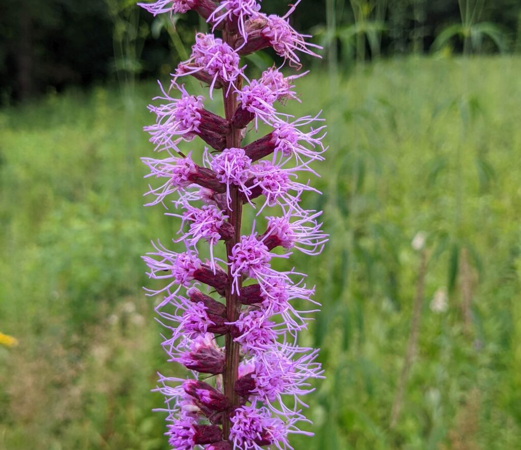
Mourning Dove 1 Ruby-throated Hummingbird 2 Turkey Vulture 1 Red-shouldered Hawk 1 Eastern Wood-Pewee 4 Acadian Flycatcher 2 Yellow-throated Vireo 1 Red-eyed Vireo 2 Blue Jay 3 Tufted Titmouse 1 Purple Martin 1 Female flying over the prairie. Tree Swallow 2 White-breasted Nuthatch 1 Blue-gray Gnatcatcher 1 House Wren 2 Gray Catbird 8 Eastern Bluebird 2 Wood Thrush 4 American Robin 4 Cedar Waxwing 2 American Goldfinch 9 Field Sparrow 2 One sitting high in a tree and singing. Song Sparrow 7 Swamp Sparrow 3 Eastern Towhee 3 Common Grackle 1 Common Yellowthroat 5 Hooded Warbler 1 Yellow Warbler 2 Scarlet Tanager 1 Indigo Bunting 3
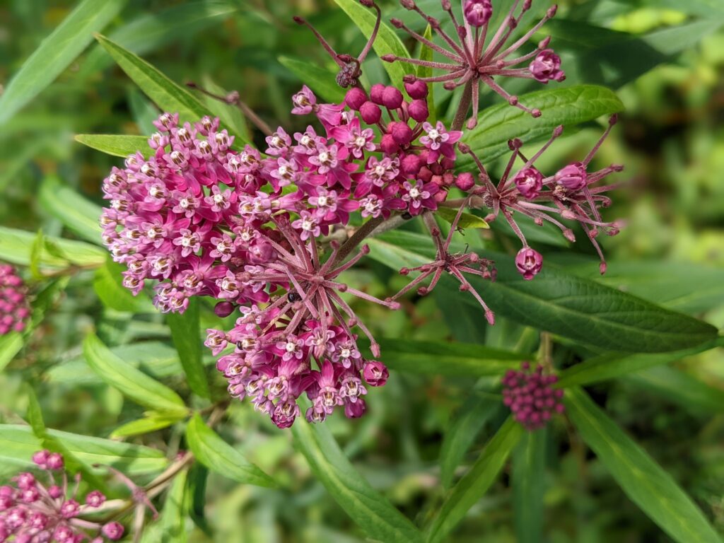
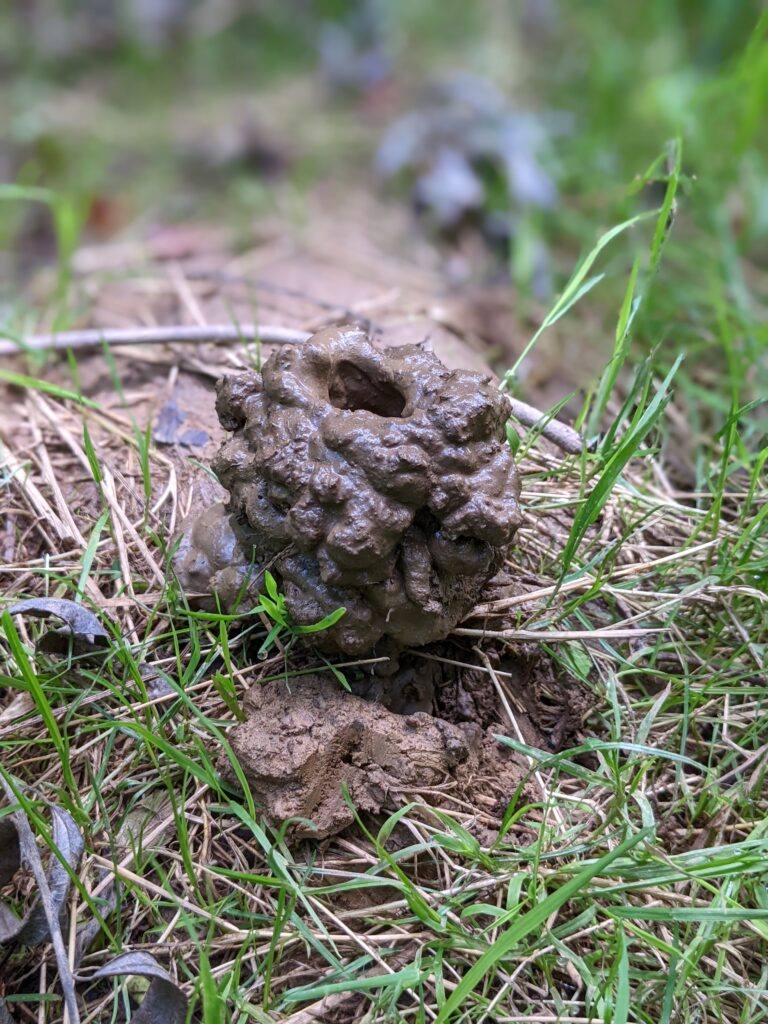
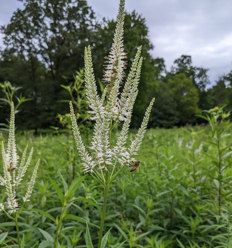
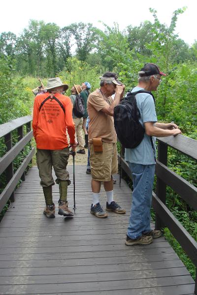
Photos submitted by Monica Miller.
Leader: Dick Nugent
July 29, 2022 10:00 AM
Outings are free and open to the public. Bring your friends. Trails are wheelchair accessible. Wear a hat and sunscreen. Bring binoculars, field guides, water and a lunch. After lunch, those who are interested can follow us to the Moraine Butterfly Trail to add to our list of flowering species.
Directions From Pittsburgh: take I-79 North to Exit 99, New Castle/ Butler. Drive east on Route 422 roughly 5.8 miles to the Prospect Exit. Turn left (north) onto Route 528. Continue on Route 528 for about 7 miles. Meet in the Jennings Prairie Parking Lot on the left (west) side of the road. (Not the Environmental Center).
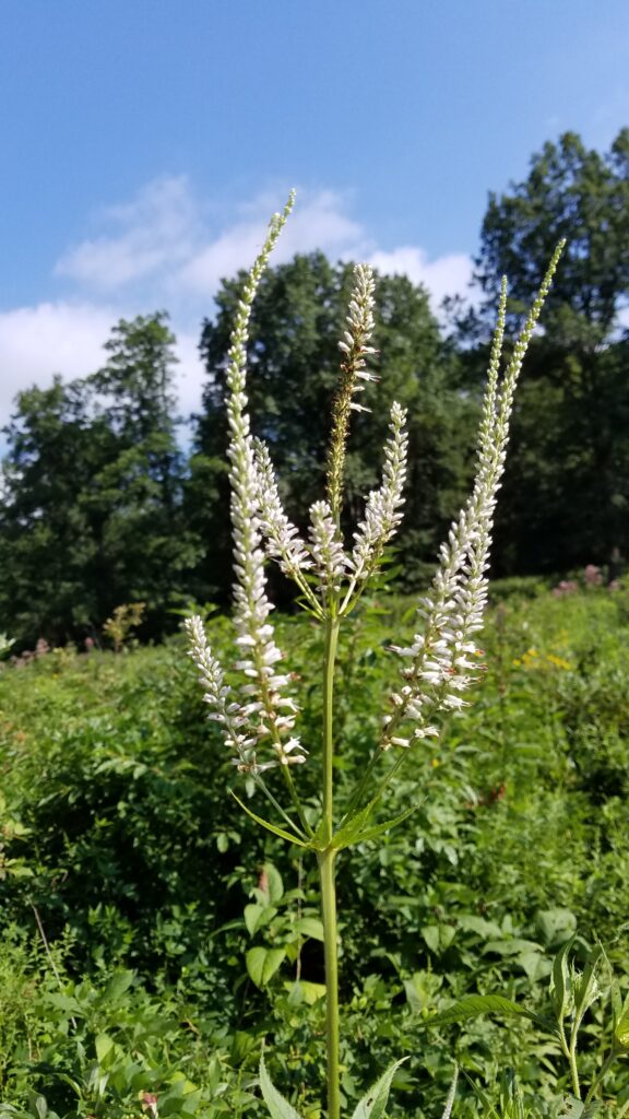
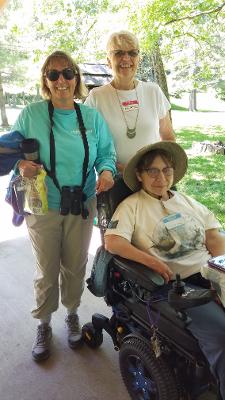
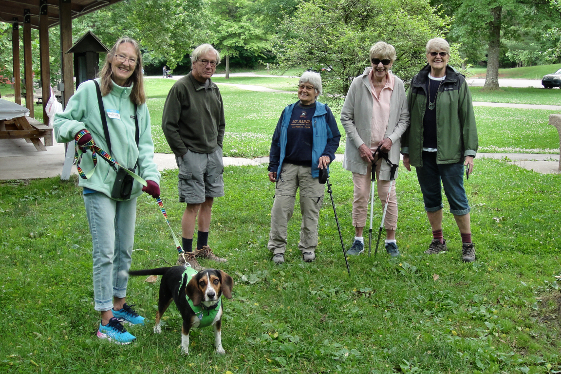
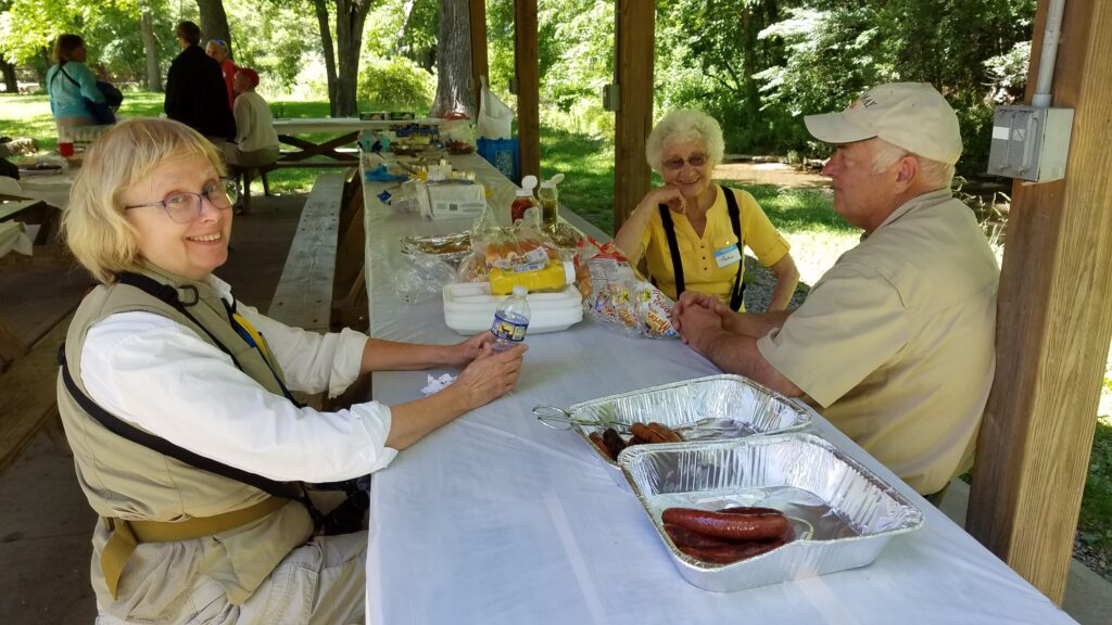
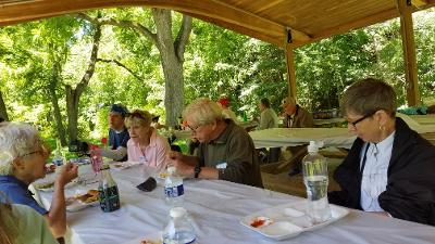
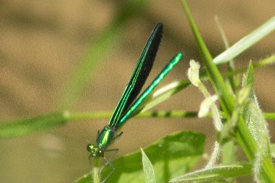
Our picnic to celebrate the 80th anniversary of the club, was a perfect day. The weather was a bit chilly in the morning but the sun came out and it was in the 70’s with a slight breeze. Heavenly! Most of us walked the trail to the ponds and saw a nice variety of birds and butterflies and a few plants too. See our list here: http://www.wissahickonnatureclub.com/wp-content/uploads/2022/06/mingo-trip-notes.pdf
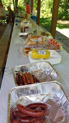
Around 12:45 we were back at Shelter 4 for our picnic and conversation.
Directions: Travel PA-43 south (toll road) to Exit 44 for PA-136/Eighty Four/Monongahela. Turn right at the end of the ramp for PA-136 west. Travel PA-136 for 2.2 miles to make a right onto Chapel Hill Rd. At the bottom of the hill, turn left onto Mingo Creek Road and continue until you reach the Ebenezer Covered Bridge on your left. Drive through the bridge and make a right into the parking lot for Shelter 4. For those who enter the park from PA-88 South and Little Mingo Road, turn left at the park sign onto Mingo Creek Road and continue on Mingo Creek Road through the park until you reach the Ebenezer Bridge on your left which you will go through and then make a right into the parking lot for Shelter 4.
We will do a nature hike in the morning and come back to the shelter around 12:30 for lunch. The club will provide the meat course, paper products, condiments and a cake. Please bring a side dish.
RSVP by June 4 to diannem15237@aol.com so we know how much food to buy.
Wissahickon’s 80th Anniversary is fast approaching. We will celebrate by holding a picnic at Mingo Park, Shelter 4 on Saturday, June 18th. More details to follow!
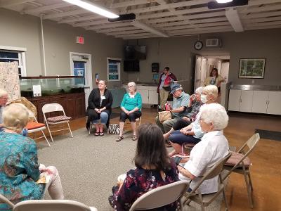
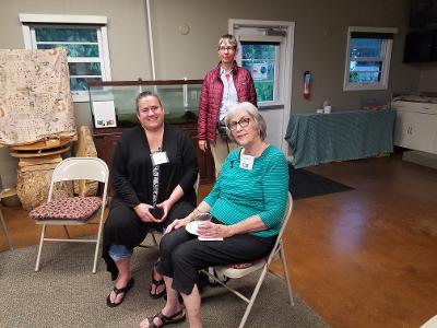
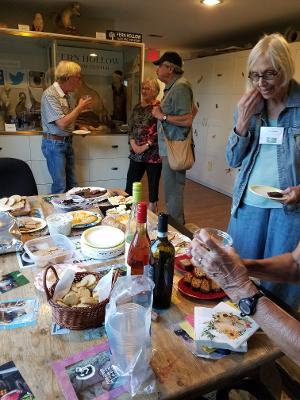
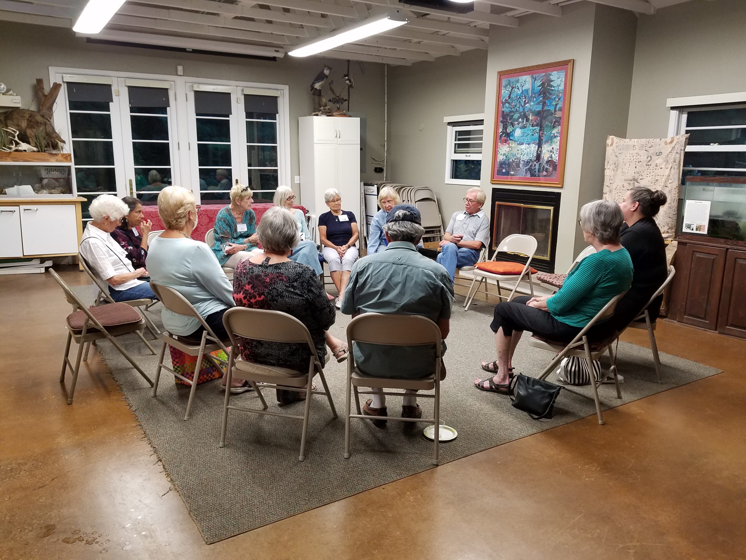
14 members attended our wine/cheese social to kick off the new club year. Since attendance at our meetings has been steadily declining because of Covid and an aging membership, it was decided to stop holding meetings and concentrate on field trips, an annual picnic and keeping our website updated. It was voted to send a $300 contribution to Fern Hollow Nature Center for their support over the years. Dues will NOT be collected until further notice.
The club will provide the wine and paper products.
Attendees please bring cheese or another snack to share.
Agenda: Since this is our first in-person meeting in over a year, we will devote the time to socializing with a short business meeting to discuss the future of the club.