Directions to Enlow Fork Natural Area

Sunday, April 29, 2018, All Day!
Enlow Fork Natural Area, Greene County
Time: Nature events all day; 10 a.m. for the wildflower walk; come early for the 8 a.m spring migrant walk
Event Organizer: Larry Helgerman, bobolink1989@gmail.com
Directions: There are many ways to get to the EFNA; if you have never been there use the GPS coordinates 39.961076, -80.462700 with Google maps ahead of time! EFNA is located at the end of Smokey Row Rd. in PA State Game Lands 302. Signs will be posted close to the event location.
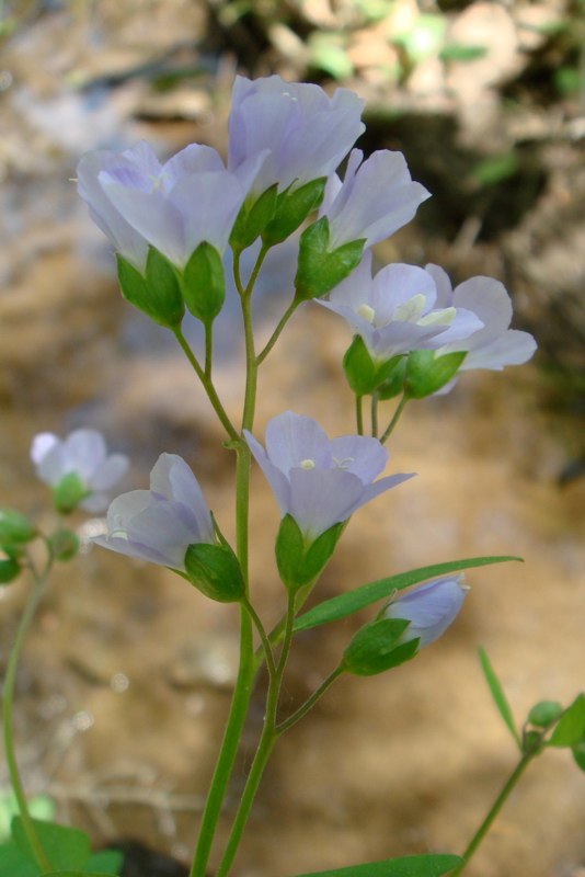
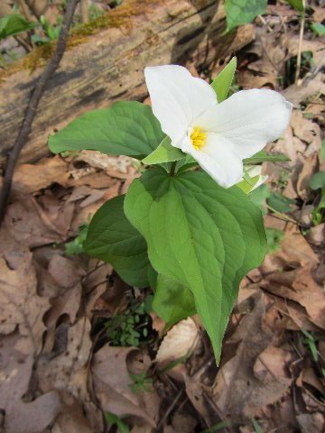
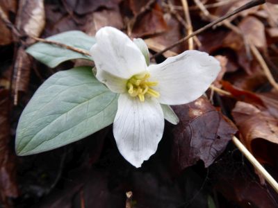
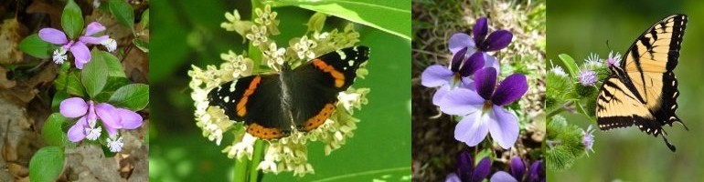
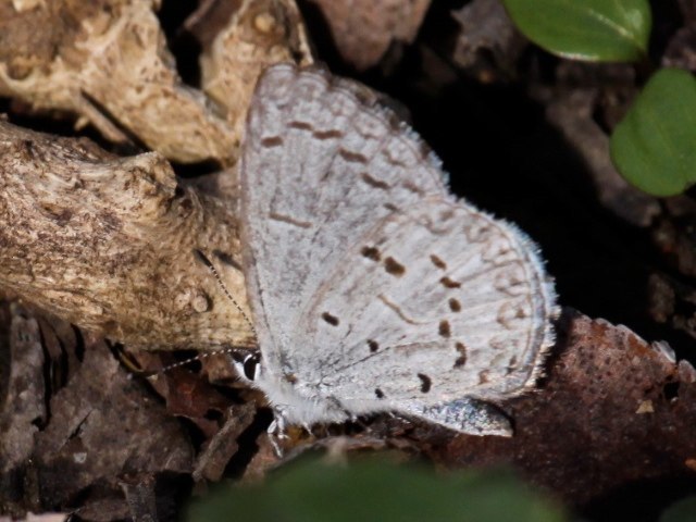
In between the main walks there will be tents set up with information on birding, wildflowers, nature, and watersheds. Food will be available for sale. Bring a chair and enjoy the day.

Directions to Friendship Hill National Historic Site

Saturday, April 28, 2018, 10:30 AM
Friendship Hill National Historic Site, Fayette County
Directions: From Pittsburgh, travel I-79 south to the Exit 14-Waynesburg. Turn left onto PA 21 east. Travel PA 21 east for 14.5 miles to PA 166 south toward Masontown. Travel PA 166 south for 17 miles to the entrance for the Friendship Hill National Historic Site on the left (this is shortly after Gallatin schools outside of New Geneva). Turn right and continue to the Gallatin House Parking Lot where we will meet.
GPS coordinates: 39.77130, -79.92380
We will meet the Westmoreland Bird and Nature Club for a walk through Sophie’s Woods, an old-growth woods along the slopes of the Monongahela River.

Directions to Raccoon Creek Wildflower Reserve

Friday, April 27, 2018, 10:00 AM
Raccoon Creek Wildflower Reserve, Beaver County
Leader: Dianne Machesney, DIANNEM15237@aol.com; cell: (412) 523-0368; home: (412) 366-7869
Directions: From Pittsburgh, take the Parkway West – Route 376 west (former Route 60 north) to Exit 52, Clinton (one exit past the Airport). At the end of the ramp, turn left and continue 1.1 miles to US 30. Turn right onto US 30 and drive 4.7 miles to the entrance for the Wildflower Reserve, on the right, just over a hill.
GPS coordinates: 40.50700, -80.36490
The Wildflower Reserve has one of the most diverse populations of plants in the state. Be prepared for wet trails and moderate hiking.

Directions to Brady’s Run State Park

Sunday, April 22, 2016, 1:00 PM
Bradys Run Park, Beaver County
Leaders: Judy Stark 412-363-0462 (home); 412-327-9537 (cell); starkj2@aol.com and Loree Speedy – 724-518-6022 cell; loreespeedy@gmail.com

Directions: Travel I-376 west to Exit 31 for PA 51/Chippewa. Turn right onto PA 51-Constitution Blvd. Continue 2.7 miles to Bradys Run Rd and turn right into the park. Continue about 1 mile and turn left into the road for Bradys Run Lodge (this is below the spillway of the dam). Continue past the lodge to the right to Picnic Pavilion #8, behind the lodge, where we will meet.
We will walk the forested roads behind the lake.
GPS coordinates: 40.73090, -80.35190

Directions to Linn Run State Park

Friday, April 20, 2018, 1:00 PM
Linn Run State Park, Grove Run Trail, Westmoreland County
Directions: From Pittsburgh, take the PA Turnpike east to Exit 91/Donegal. Turn left onto PA 31 and then, after a short distance, left onto PA 711. Continue on PA 711 north for about 9 miles. Turn right onto Darlington Road (this may be unmarked) and travel about 1 mile to its junction with PA 381. Continue straight onto PA 381 for a short distance, and then turn right onto Linn Run Rd. Once you enter Linn Run State Park, continue about 1 ½ miles to the Grove Run Picnic Area on the right, where we will meet.
GPS coordinates: 40.15330, -79.22680
Join Rare Plant Forum attendees for a spring wildflower walk.

Directions to Trillium Trail

Sunday, April 15, 2018, 1:00 P.M.
Trillium Trail, Fox Chapel Borough
Allegheny County
Leader: Loree Speedy – 724-518-6022 cell; loreespeedy@gmail.com
Directions: Take PA 28 to Exit 8 in Fox Chapel. At the exit, turn left and follow Fox Chapel Rd for 1 mile. After passing Delafield Rd, make a left turn into Squaw Run Rd. Follow Squaw Run Rd for 1.6 mile. Turn left into the parking lot of the Trillium Trail, where we meet.
GPS coordinates: 40.52030, -79.90060
Trillium Trail is a 1 3/4 mile loop on Squaw Run Road in Fox Chapel. The parking lot is very small, so park carefully. There are pull-offs along the highway nearby.

Directions to Core Arboretum April 8, 2018

Sunday, April 8, 2018, 2:00 PM
Core Arboretum, Morgantown, West Virginia
Leaders: Core Arboretum staff and volunteers

Pittsburghers can reach Core Arboretum in 1 hour and 15 minutes, so there is no reason not to get a jump on spring by heading south to a mostly old-growth forest on a steep hillside and level floodplain of the Monongahela River.
Visit www.arboretum.wvu.edu for more scheduled trips and information if you cannot attend this one.
Directions: From Pittsburgh, take I-79 South to Exit 155 towards WV-7 / West Virginia University. Turn left onto Chaplin Rd. Chaplin Rd. turns slightly right at the Sheetz and becomes US-19 S / Monongahela Blvd. Travel US 19 S for 1.6 miles to the parking lot for Core Arboretum on the right. We will meet at the parking lot.
GPS coordinates: 39.64690, -79.97740.

Directions to March 25th Field Trip

Sunday, March 25, 2018, 1:00 PM
Bavington at Hillman State Park Game Lands, Washington County
Leader: Loree Speedy

Directions: From Pittsburgh, travel Parkway West (I-376, formerly I-279) and exit the Parkway at Exit 60 to continue on US 22 for 10 miles to the Bavington exit. Turn right at the end of the ramp, then left onto Steubenville Pike, and travel one mile to make a sharp right hand turn onto Kramer Road at the Kramer Greenhouse/Raccoon Creek Winery. (If you pass this turn, cross the highway bridge and turn around at the Bavington Roadhouse/Inn.)
Continue on Kramer Road 0.8 miles and bear left at its intersection with Raccoon Creek Rd. Continue 1/4 mile to the intersection with Knowlton Hill Rd, where we will meet.
GPS coordinates: 40.43680, -80.36670

Everyone is welcome, including non-members. Trips last 3 to 4 hours but one can leave at any time. For questions, call the field trip leader, Loree Speedy at (724) 872-5232/home; (724) 518-6022/cell or loreespeedy@gmail.com.

Directions to March 18th field trip

Sunday, March 18, 2018, 1:00 PM
Little Sewickley Creek outside of Herminie. Westmoreland County
This is a favorite trip for early spring ephemerals and Snow Trillium (Trillium nivale). The walk is easy along an old railroad grade.
Directions: Take the PA Turnpike to Exit 67-Route 30/Irwin/Greensburg. Take the Route 30 East/Greensburg ramp. At the first stoplight on Route 30, turn right onto Arona Road, then another right after 0.5 mile onto unmarked Wendel Road. Travel this road 3.7 miles to a T. Turn right at the T and continue 1 mile to Herminie to a 4-way stop (VFD on corner). Continue straight to the next stop sign and turn left. Proceed through 2 more stop signs, end at a T, and turn right. Continue past the Dairy Queen on your right and continue down a hill; we will meet just before the highway bridge. Park on the left side.
These directions are difficult as roads are unmarked and state roads through Herminie sometimes look like alleys.
If you can use them, the GPS coordinates will likely take you by a more direct route. GPS coordinates: 40.26050, -79.72700.

Everyone is welcome, including non-members. Trips last 3 to 4 hours but one can leave at any time. For questions, call the field trip leader, Loree Speedy at (724) 872-5232/home; (724) 518-6022/cell or loreespeedy@gmail.com.