Our Annual Jennings Prairie Hike- Trip Report

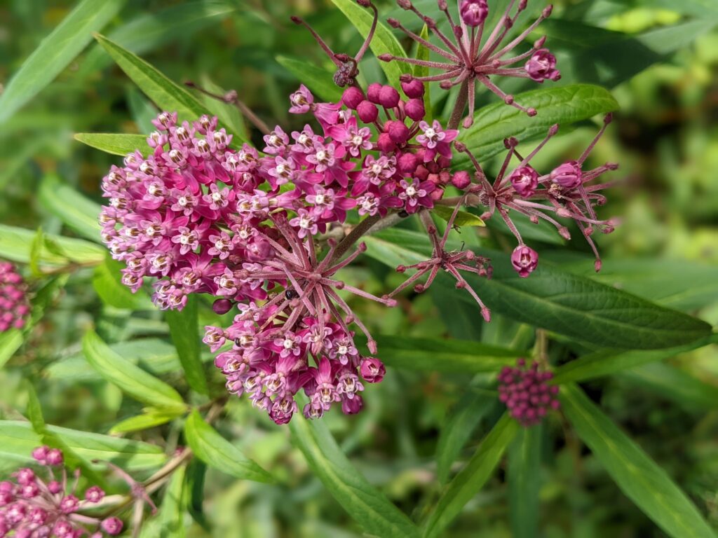
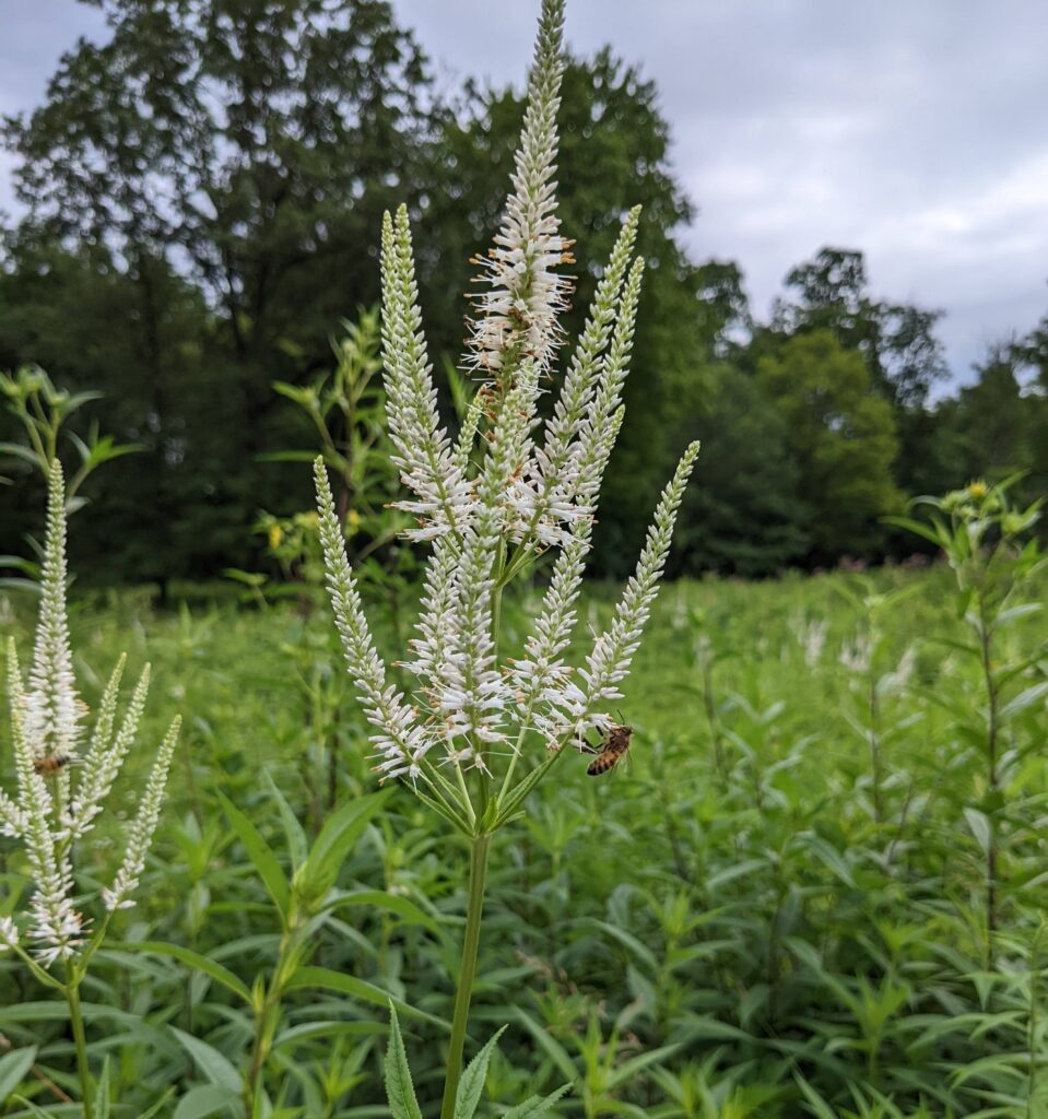
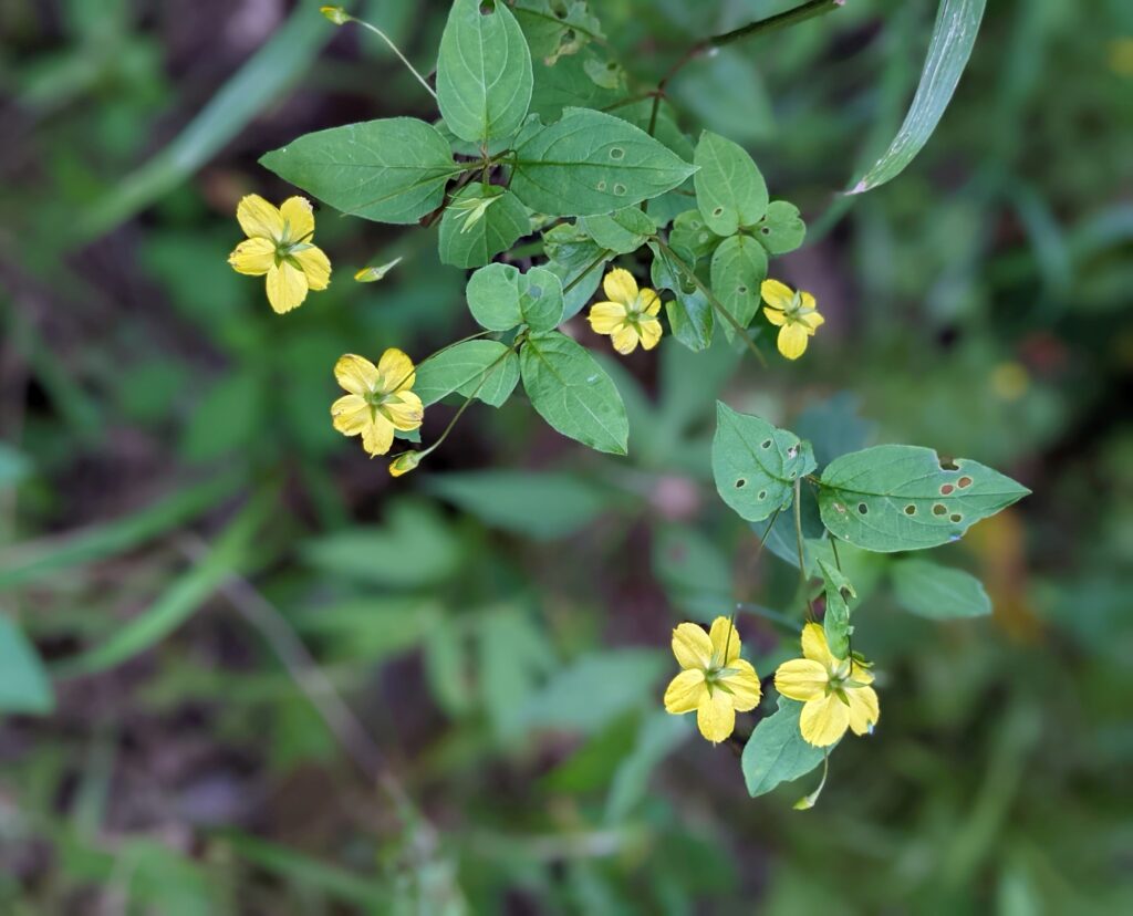
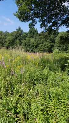
Click here to see the blooming flower list: http://www.wissahickonnatureclub.com/wp-content/uploads/2022/07/Wissahickon-Jennings-Prairie-29-July-2022.docx

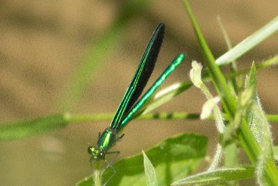
Butterflies Seen: Monarch, Viceroy, Tiger Swallowtail, Spicebush Swallowtail, Least Skipper, Summer Azure, Orange Sulphur, Cabbage White, Little Wood Satyr, Red-spotted Purple, Silver-spotted Skipper

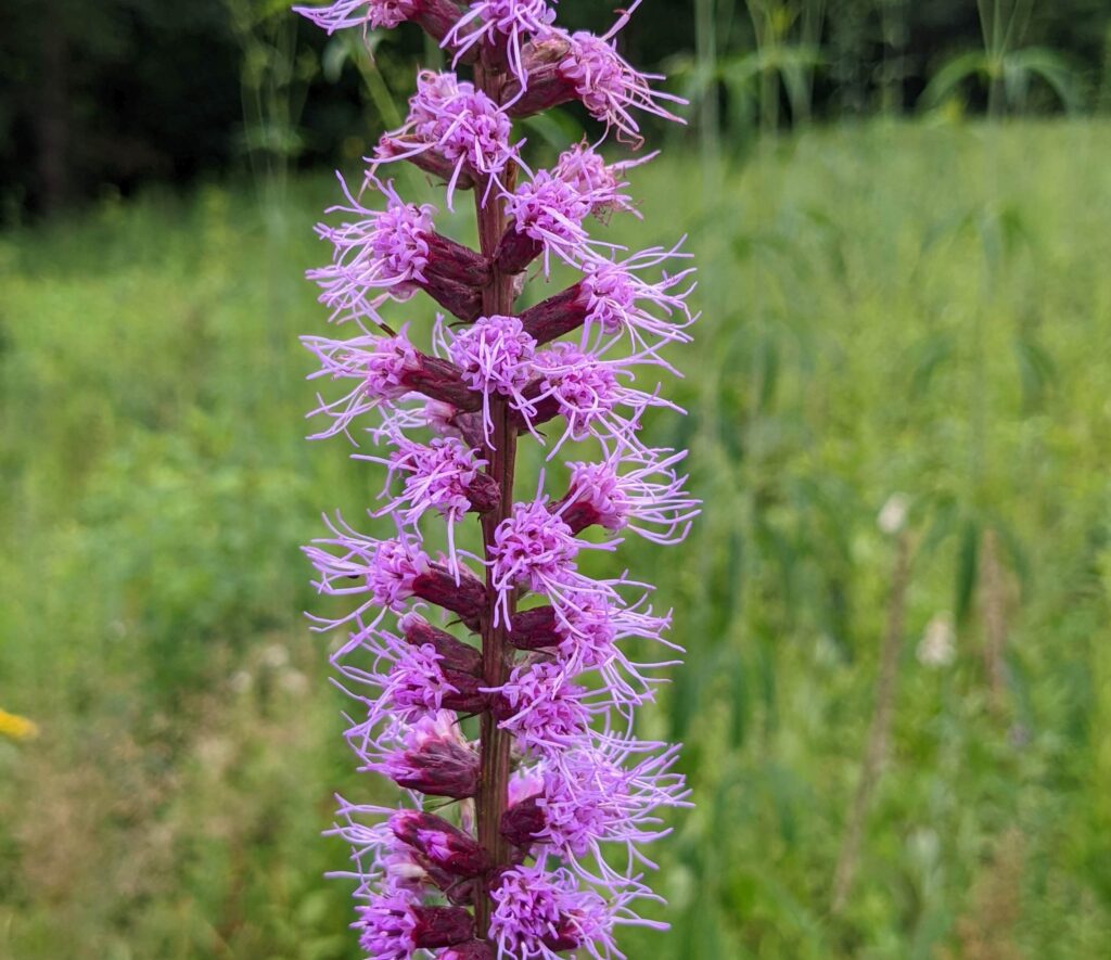
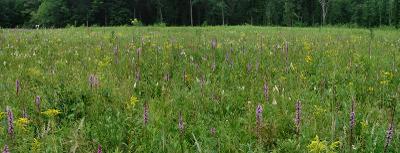
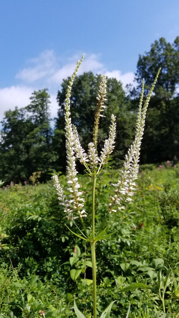
Photos by Kate St. John

Birds Seen:

Mourning Dove  1
Ruby-throated Hummingbird  2
Turkey Vulture  1
Red-shouldered Hawk  1
Eastern Wood-Pewee  4
Acadian Flycatcher  2
Yellow-throated Vireo  1
Red-eyed Vireo  2
Blue Jay  3
Tufted Titmouse  1
Purple Martin  1     Female flying over the prairie.
Tree Swallow  2
White-breasted Nuthatch  1
Blue-gray Gnatcatcher  1
House Wren  2
Gray Catbird  8
Eastern Bluebird  2
Wood Thrush  4
American Robin  4
Cedar Waxwing  2
American Goldfinch  9
Field Sparrow  2     One sitting high in a tree and singing.
Song Sparrow  7
Swamp Sparrow  3
Eastern Towhee  3
Common Grackle  1
Common Yellowthroat  5
Hooded Warbler  1
Yellow Warbler  2
Scarlet Tanager  1
Indigo Bunting  3

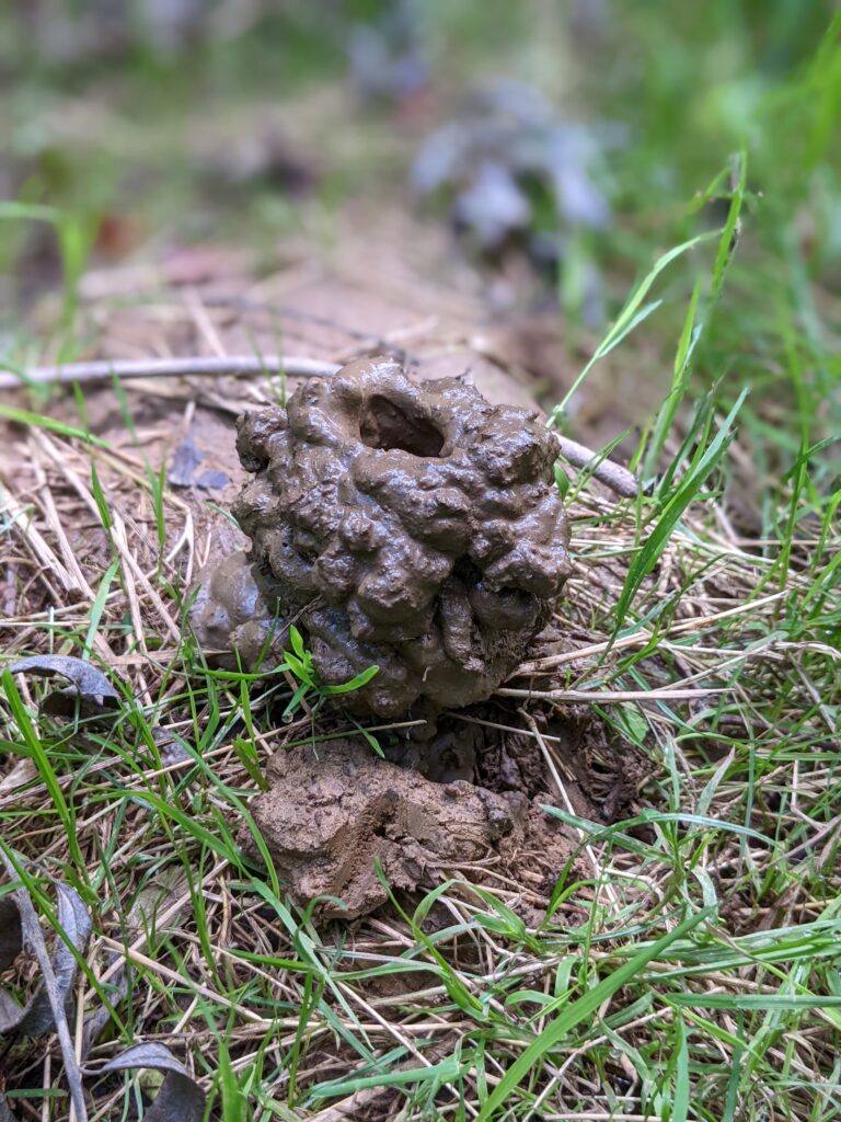
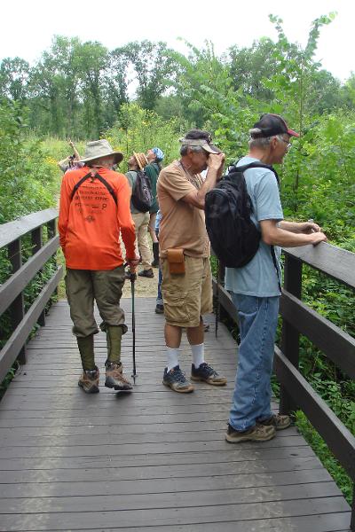
Photos submitted by Monica Miller.

Leader: Dick Nugent

July 29, 2022 10:00 AM

Outings are free and open to the public. Bring your friends. Trails are wheelchair accessible. Wear a hat and sunscreen. Bring binoculars, field guides, water and a lunch. After lunch, those who are interested can follow us to the Moraine Butterfly Trail to add to our list of flowering species.

Directions From Pittsburgh: take I-79 North to Exit 99, New Castle/ Butler. Drive east on Route 422 roughly 5.8 miles to the Prospect Exit. Turn left (north) onto Route 528. Continue on Route 528 for about 7 miles. Meet in the Jennings Prairie Parking Lot on the left (west) side of the road. (Not the Environmental Center).

Trip Report – Mingo Creek County Park June 18, 2022

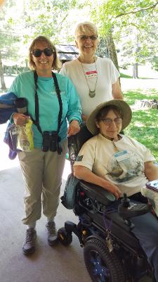
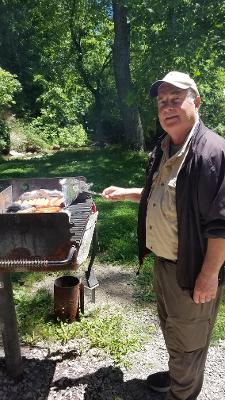
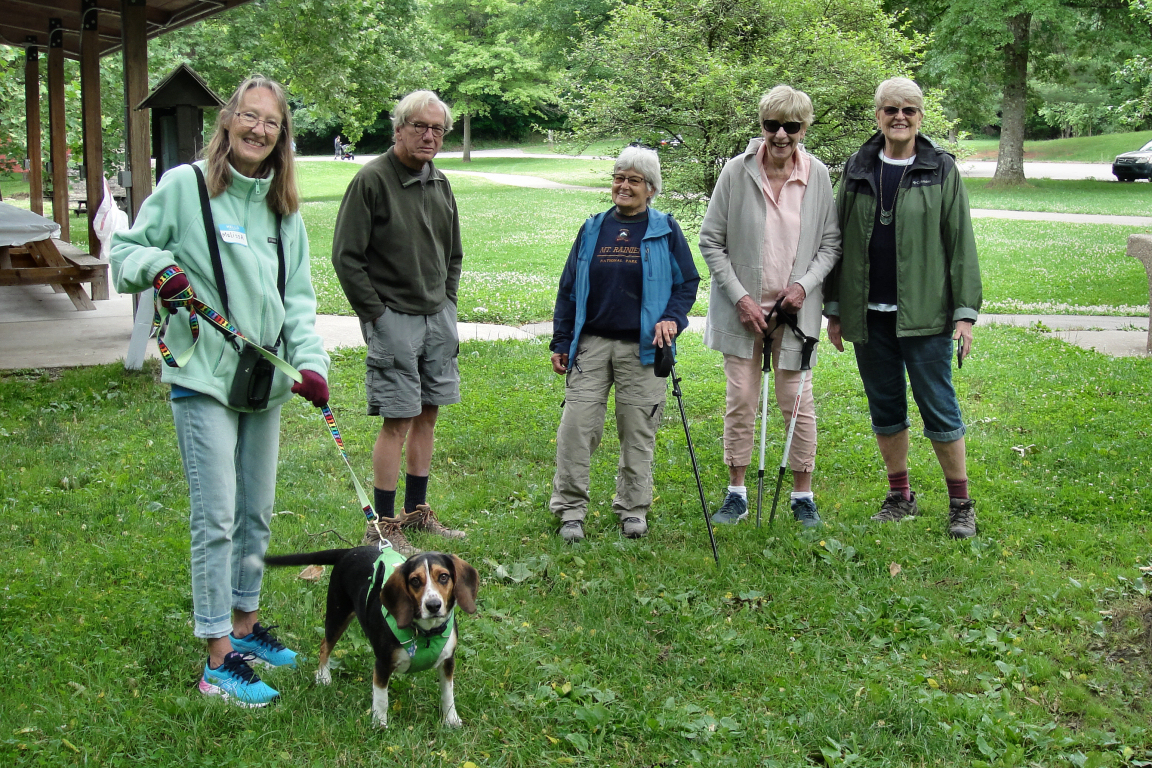
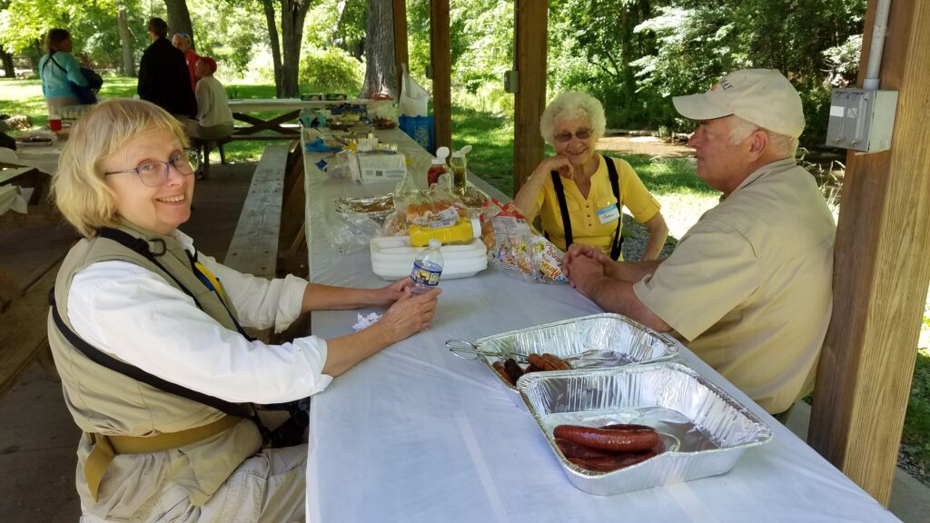
Our picnic to celebrate the 80th anniversary of the club, was a perfect day. The weather was a bit chilly in the morning but the sun came out and it was in the 70’s with a slight breeze. Heavenly! Most of us walked the trail to the ponds and saw a nice variety of birds and butterflies and a few plants too. See our list here: http://www.wissahickonnatureclub.com/wp-content/uploads/2022/06/mingo-trip-notes.pdf

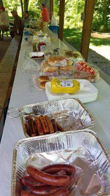
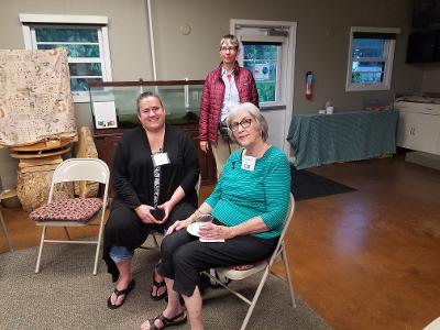
Around 12:45 we were back at Shelter 4 for our picnic and conversation.

Thanks to Monica, Dianne and Ryan for the photos.

80th Anniversary Picnic

June 18, 2022

Mingo Park 10:00 am – 4:00 pm

Directions:  Travel PA-43 south (toll road) to Exit 44 for PA-136/Eighty Four/Monongahela. Turn right at the end of the ramp for PA-136 west. Travel PA-136 for 2.2 miles to make a right onto Chapel Hill Rd. At the bottom of the hill, turn left onto Mingo Creek Road and continue until you reach the Ebenezer Covered Bridge on your left. Drive through the bridge and make a right into the parking lot for Shelter 4.  For those who enter the park from PA-88 South and Little Mingo Road, turn left at the park sign onto Mingo Creek Road and continue on Mingo Creek Road through the park until you reach the Ebenezer Bridge on your left which you will go through and then make a right into the parking lot for Shelter 4.

Ebenezer Bridge Coordinates:  (40.1920729, -80.0403392)

We will do a nature hike in the morning and come back to the shelter around 12:30 for lunch. The club will provide the meat course, paper products, condiments and a cake. Please bring a side dish.

RSVP by June 4 to diannem15237@aol.com so we know how much food to buy.

September, 2021 Meeting

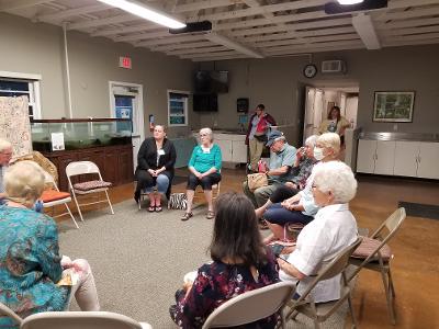
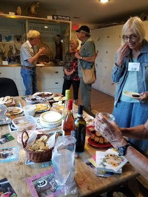
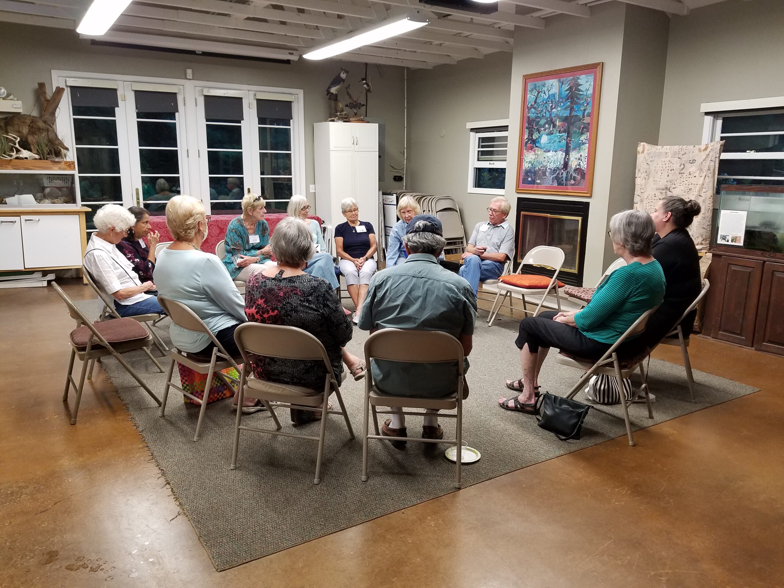
14 members attended our wine/cheese social to kick off the new club year. Since attendance at our meetings has been steadily declining because of Covid and an aging membership, it was decided to stop holding meetings and concentrate on field trips, an annual picnic and keeping our website updated. It was voted to send a $300 contribution to Fern Hollow Nature Center for their support over the years. Dues will NOT be collected until further notice.

You Are Invited

When:  September 9, 2021     7:00 PM

What:  Wissahickon Annual Wine and Cheese Meeting

Where:  Fern Hollow Nature Center

               1901 Glen Hollow Road, Sewickley, PA 15143

The club will provide the wine and paper products.

  Attendees please bring cheese or another snack to share.

Agenda:  Since this is our first in-person meeting in over a year, we will devote the time to socializing with a short business meeting to discuss the future of the club.

Jennings Field Trip July 23, 2021

Friday, July 23,2021 10:00 AM Jennings Prairie, Leaders:  Dianne and Bob  Machesney

  (C) 412-523-0368

Visit the unique ecosystem at Jennings Prairie.

This is the perfect time to explore the relict prairie. The hot weather brings the stunning Blazing Star and some of the other dazzling summer flowers to peak performance. The goldenrods of fall will begin to show. Don’t miss the spectacular butterflies that grace the prairie with their breathtaking beauty. Flycatchers, vireos, tanagers, Common Yellowthroats and Cedar Waxwings sometimes make an appearance. We may come across a Red Eft, the larval form of a Red-spotted Newt.

Outings are free and open to the public. Bring your friends. Trails are wheelchair accessible.Wear a hat and sunscreen. Bring binoculars, field guides, water and a lunch.

Directions From Pittsburgh: take I-79 North to Exit 99, New Castle/ Butler. Drive east on Route 422 roughly 5.8 miles to the Prospect Exit. Turn left (north) onto Route 528.

Continue on Route 528 for about 7 miles. Meet in the Jennings Environmental Center Parking Lot on the left (west) side of the road.

June, 2021 Field Trips

Saturday, June 5, 2021, 9:00 AM

Work Day at Fringed Gentian Fen and Plain Grove Fen Natural Areas, Lawrence County

Western Pennsylvania Conservancy is having a Volunteer Land Steward Work Day at Fringed Gentian Fen Natural Area and Plain Grove Fen Natural Area.  Let’s show our appreciation for the conservation of these areas by joining them for invasive plant removal, woody vegetation control and tree-planting maintenance.

For additional information, go to:  https://waterlandlife.org/volunteer/ , Select “Current Volunteer Opportunities, and the Sat., June 5 event. For questions, contact Andrew Zadnick, Director of Land Stewardship at azadnik@paconserve.org or (412) 977-9681 (cell).

We will meet at 9:00 AM along Frew Mill Road in Shenango Township.

Directions: From Pittsburgh, take I-79 North to Exit 99‑US 422. Turn left onto US 422 west and travel 7 miles. Turn right at PA 388 North and continue 1.2 miles to Frew Mill Road. Turn left onto Frew Mill Road and continue 0.7 mile.

GPS Coordinates: 40.9904, -80.28111

Sunday, June 13, 10:00 AM

South Sandy Creek in State Game Land 39, Venango County

Leader:  Ron Zagrocki; Cell:( 717) 580-5736

Directions: From Pittsburgh, take I-79 north to Exit 121 for US 62 Mercer/Franklin. Turn right and continue 2 miles the point where US 62 turns to the left – but continue straight onto PA 965. Travel PA 965 for 8.5 miles to turn right onto Slatertown Road, a dirt road. Continue  2 1/4 miles to a gravel parking lot on the left. If you drive over an open-grate bridge, you’ve gone too far.

GPS coordinates: 41.29860, -79.94920

Saturday, June 19, 2021, 1:00 PM

Ferncliff Peninsula, Ohiopyle State Park, Fayette County

Leader: Mark Bowers

Contact Information: 4beagles@verizon.net;

cell: (724) 454-4012

Directions:  From Pittsburgh, take the PA Turnpike  to Exit 91 – Donegal. Turn east (left) on PA 31. Travel about 2 miles and turn south (right) on PA 381. Travel ten miles to Normalville to a stop sign.  Turn left onto PA 381 south and continue 11 miles to Ohiopyle. As PA 381 enters Ohiopyle, it crosses railroad tracks. Turn right just before the bridge over the Yough to enter the Ferncliff parking lot, where we will meet. 

Although the state park will be crowded with enthusiastic outdoor recreationists and sightseers, the inland trails will be quiet and ideal for a wildflower hike. We may first head to another hiking trail, so if you arrive late, please call Mark at 724-454-4012 or look for a note directing you to the correct trail.

GPS coordinates: 39.87150, -79.49320

May Field Trips 2021

Saturday, May 15, 2021, 1:00 PM
Boyce Mayview Regional Park, Upper St. Clair Township, Allegheny County

Leader: Mary Ann Pike

Contact Information: cell: (412) 855-8239; mapike@earthlink.net

We will initially travel downhill to get to the riparian forest and wetlands at the bottom. 

Directions: From Pittsburgh, proceed south on US 19 (Washington Road) to Boyce Road which is 3.0 miles south of South Hills Village (at Fort Couch Road). Turn right onto Boyce Road and proceed 0.5 mile to the intersection with Morton Road on the right. Turn right onto Morton Road and continue about 1.5 miles to parking for the Morton Complex on the left side of the road. Park here.

Alternatively, take I-79 south.Take Exit 54/ Bridgeville. At the end of the ramp, turn right onto Millers Run Road (PA 50) and proceed to the traffic light at the T-intersection with Washington Pike. Turn right onto Washington Pike and drive for 2.1 miles to the intersection with Boyce Road. Turn left onto Boyce and proceed 1.4 miles to the traffic light at the intersection with Mayview Road. Continue on Boyce Road for another 1.1 mile to Morton Road. Turn left onto Morton Road and continue about 1.5 miles to parking for the Morton Complex on the left side of the road. Park here. 

GPS Coordinates: 40.32842, -80.09581

Saturday, May 22, 2021, 12:30 PM

Cornplanter State Forest, Strawbridge Tract Crawford County

Leaders:  Joe and Bonnie Isaac; Cell- 724-944-7160; E‑mail:  IsaacB@CarnegieMNH.Org

Start time: 1 p.m. but bring your lunch to enjoy the picnic area at 12:30 pm-ish.

Directions: From Pittsburgh, take I-79 north to Exit 147A for Meadville. Turn right onto US 19. On the highway bridge into town, stay in the right lane to continue straight into town onto Park Ave. Continue 3/4 mile and turn right onto North St for PA 27 East. Continue about ½ mile to pick up a left hand turn onto PA77 East. Continue 12 miles to turn right onto PA 408. Travel PA 408 for 7 miles to Strawbridge Road. Turn left and continue about ½ mile to the parking and picnic area. 

GPS coordinates: 41.6754, -79.8533 Reply  Reply All  Forward