Friday, June 28, 2019 at 10:00 am. Leader: Dianne and Bob Machesney
(H) 412-366-7869 (C) 412-523-0368
Directions:
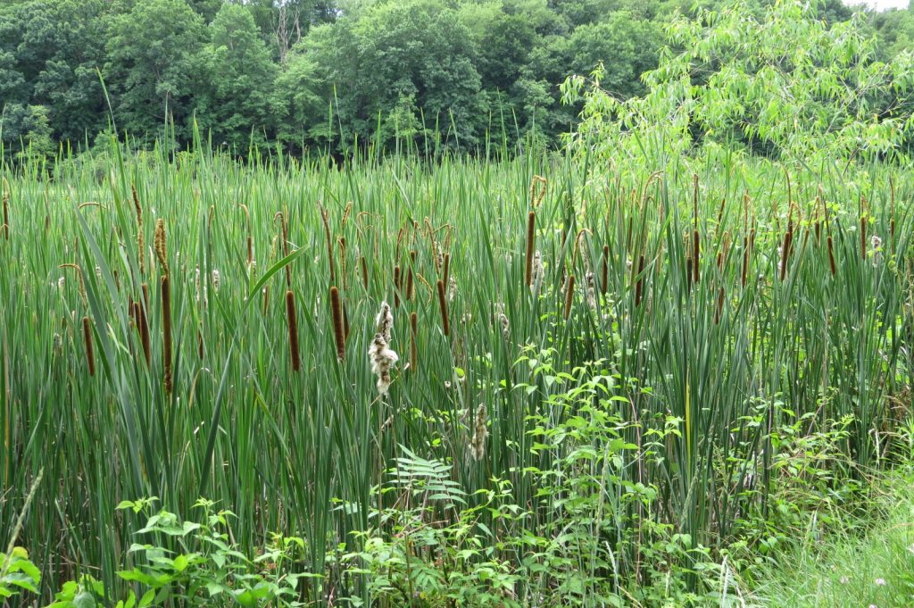
79 North to route 488 exit- Portersville. Left at the exit to rte. 19.Take rte 19 north 13 miles make right on Black Road. Pass the corn silos. At bottom of hill is 4 way intersection. Turn left on Nelson rd .About 1/2 mile turn right onto #2 Mine Rd. Pass swamps on either side of road. At the rise in the road turn right into gravel/grass parking lot, where we will meet. Just past the parking lot is the railroad grade on the left that goes thru Shollards wetland where we will be walking. The gated road in the parking lot goes back to Black Swamp and many ponds.
Shollards parking lot GPS coordinates:
N41.11441 —W80.19218 Elevation 1233 feet above sea level.
No facilities here. Pack a lunch and a chair .
