Upcoming Field Trips Spring, 2024

Sunday, April 14, 2024, 1:00 PM

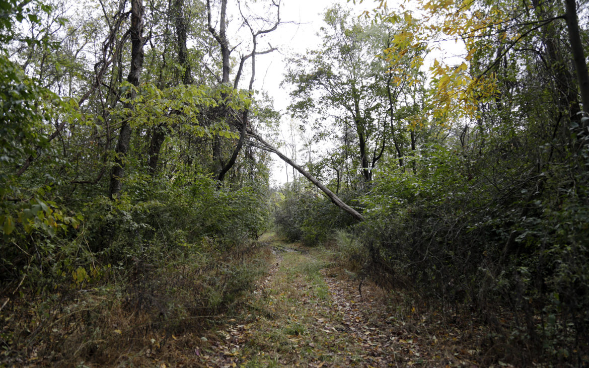
Barking Slopes, Plum Borough, Allegheny County

Leader: Mason Heberling, heberlingm@carnegiemnh.org

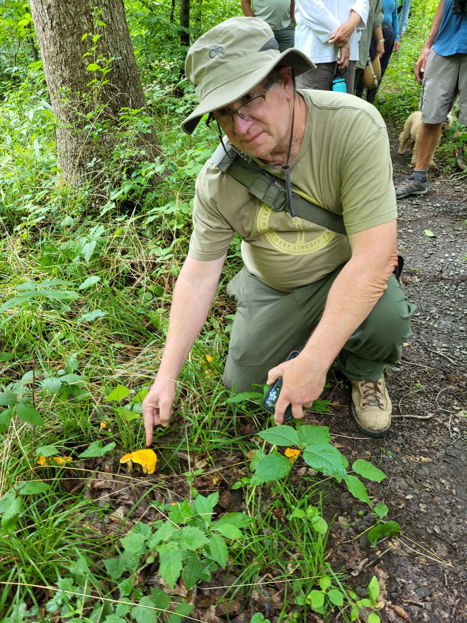
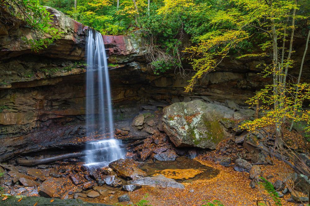
Join Mason Heberling,  Assistant Curator of Botany at Carnegie Museum of Natural History, to learn about this unique natural area. The Barking Slopes Conservation Area, protected by the Allegheny Land Trust, was once a coal mine, but is now an incredibly diverse forest.  Mason will introduce us to the site and discuss current research on how this forest is adapting to a changing climate and plant invasions. 

Directions:  From Pittsburgh, take PA Route 28 North to Exit 9(Blawnox). Merge onto Freeport Road. After 3 miles, turn right onto Hulton Bridge to enter Oakmont, and continue straight onto Hulton Road. Travel 1.5 miles to the Sheetz. At this stoplight (where Hulton Rd turns to the right), continue straight onto Coxcomb Hill Rd. Travel 3.3 miles and make a sharp left onto Barking Rd (after the Lock 3 Allegheny River sign).  Travel Barking Rd 1.2 miles to parking for the preserve.  

GPS coordinates: 40.53285, -79.78191  Google Map Link

Saturday, April 20, 2024, 1:00 PM

Duff Park, Murrysville, Westmoreland County 

Leader:  Loree Speedy; loreespeedy@gmail.com; (724) 518-6022 cell

We will meet at the new Visitor Center along US 22.

Directions: From Pittsburgh, take I-376 east (Parkway East) to its end at US 22 East – Murrysville.  Travel US 22 for about 4 miles to the intersection of Trafford Rd (McDonald’s on the left). Continue along US 22 in the right lane about 7/10 of a mile. At The Fireplace and Airgas businesses, turn right into the new Robert Trail Access, where we will meet.

GPS Coordinates: 40.42699, -79.68400. Google Map Link

Monday, April 22, 2024, 1:00 PM  EARTH DAY!

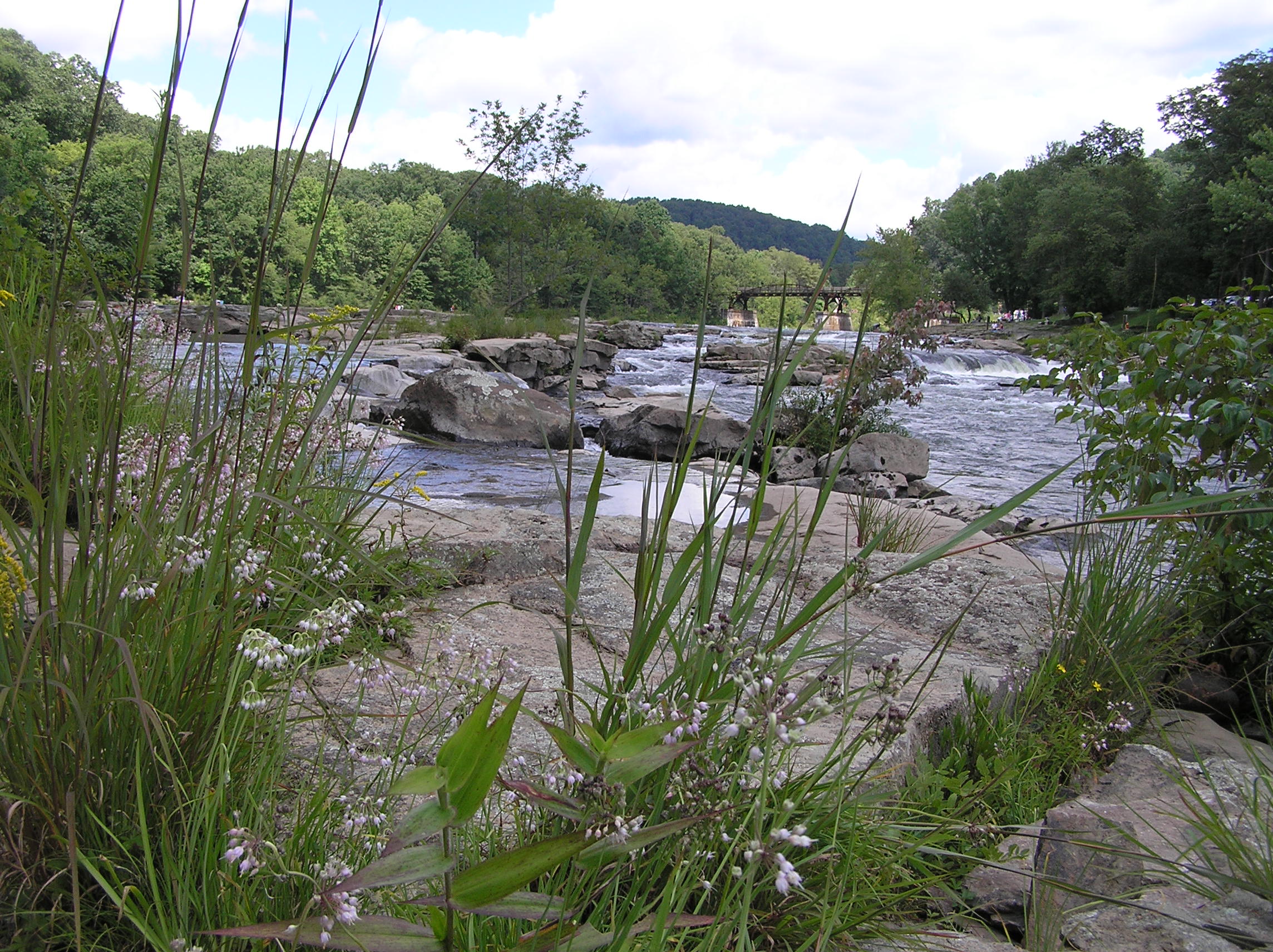
Great Gorge Trail , Ohiopyle State Park, Fayette County

Leader: Mark Bowers; monarda55@gmail.com; cell: (724) 454-4012

Directions: From Pittsburgh, take the PA Turnpike to Exit 91 – Donegal. Turn left onto PA 31 East and travel 2.1 miles. Turn right at a traffic light onto PA 711/ PA 381 South and continue 10 miles to a T in Normalville. Turn left onto PA 381 and continue 11 miles to Ohiopyle. Drive through the town and make a right onto SR 2019/Kentuck Road. Travel less than a half mile and turn right into the parking lot for Cucumber Falls.

GPS coordinates: 39.8629, -79.5027  Google Map Link

Saturday,April 27, 2024, 10:00 AM

Boyce Mayview Regional Park, Upper St. Clair Township, Allegheny County

Leader: Mary Ann Pike

Contact Information: cell: (412) 855-8239; mapike@earthlink.net

We will initially travel downhill to get to the riparian forest and wetlands at the bottom. 

Directions: From Pittsburgh, proceed south on US 19 (Washington Road) to Boyce Road which is 3.0 miles south of South Hills Village (at Fort Couch Road). Turn right onto Boyce Road and proceed 0.5 mile to the intersection with Morton Road on the right. Turn right onto Morton Road and continue about 1.5 miles to parking for the Morton Complex on the left side of the road. Park here.

Alternatively, take I-79 south.Take Exit 54/ Bridgeville. At the end of the ramp, turn right onto Millers Run Road (PA 50) and proceed to the traffic light at the T-intersection with Washington Pike. Turn right onto Washington Pike and drive for 2.1 miles to the intersection with Boyce Road. Turn left onto Boyce and proceed 1.4 miles to the traffic light at the intersection with Mayview Road. Continue on Boyce Road for another 1.1 mile to Morton Road. Turn left onto Morton Road and continue about 1.5 miles to parking for the Morton Complex on the left side of the road. Park here. 

GPS Coordinates: 40.32842, -80.09581  Google Map Link

Sunday, May 5, 2024, 1:00 PM

Sandy Creek Trail at Belmar Trailhead, Venango County 

Leader:  Ron Zagrocki; cell: (717) 580-5736

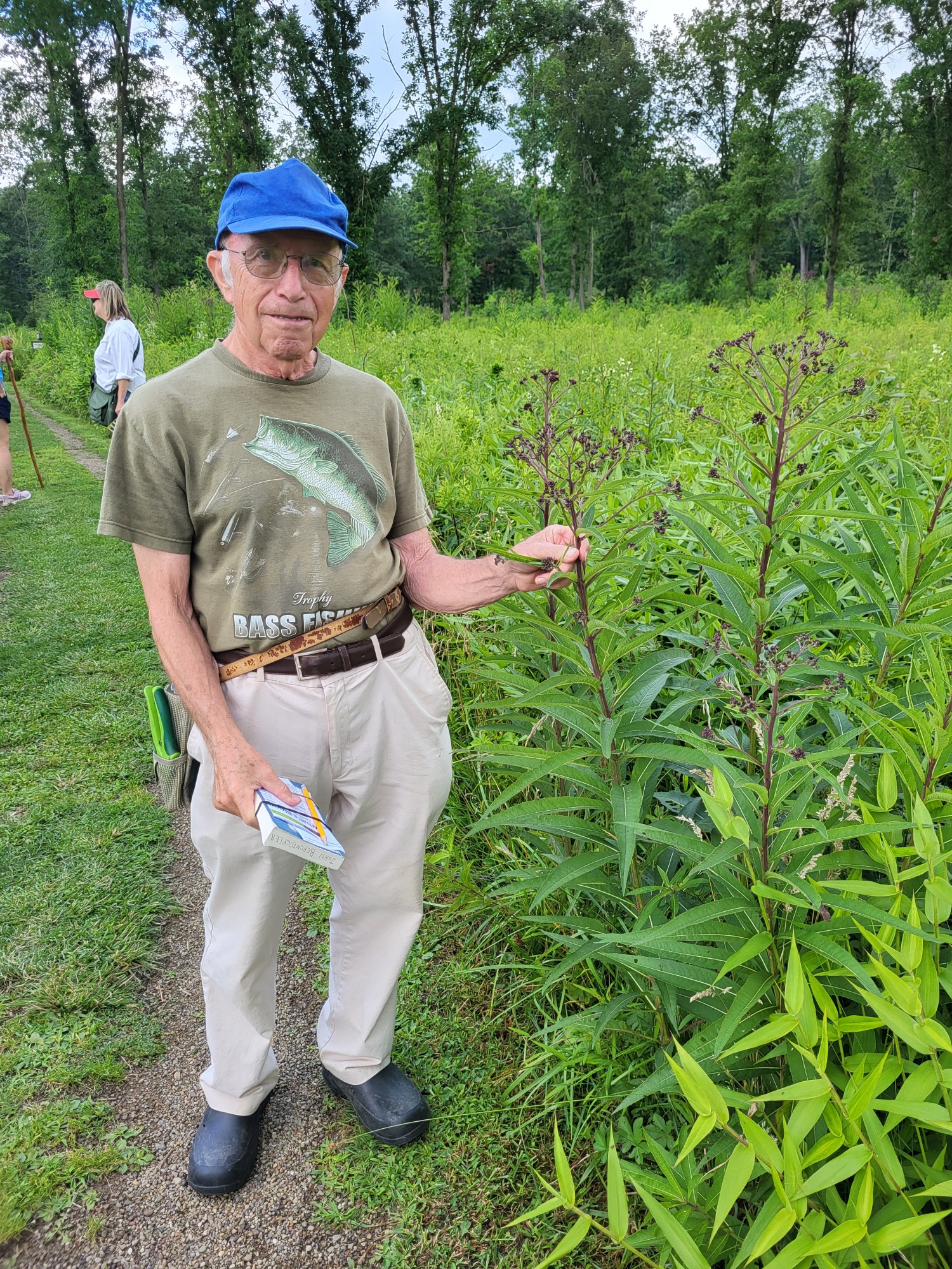
We will walk along the Sandy Creek Trail, winding through undeveloped and remote forest along East Sandy Creek.  

Directions: The Belmar trailhead is at Belmar Village on the west side of the Allegheny River. From Exit 29 of I 80, travel PA8 North for 14.4 miles and make a right onto Pone Ln (at the first traffic light; Red Express Service Station). Travel Pone Ln for 2.4 miles and make a right at the T onto Belmar Rd, and follow it to the parking area at the foot of the hill. 

GPS coordinates: 41.3333, -79.77459 Google Map Link

Saturday , May 11, 2024, 1:00 PM 

Sheepskin Hollow Nature Preserve, Columbiana County, Ohio 

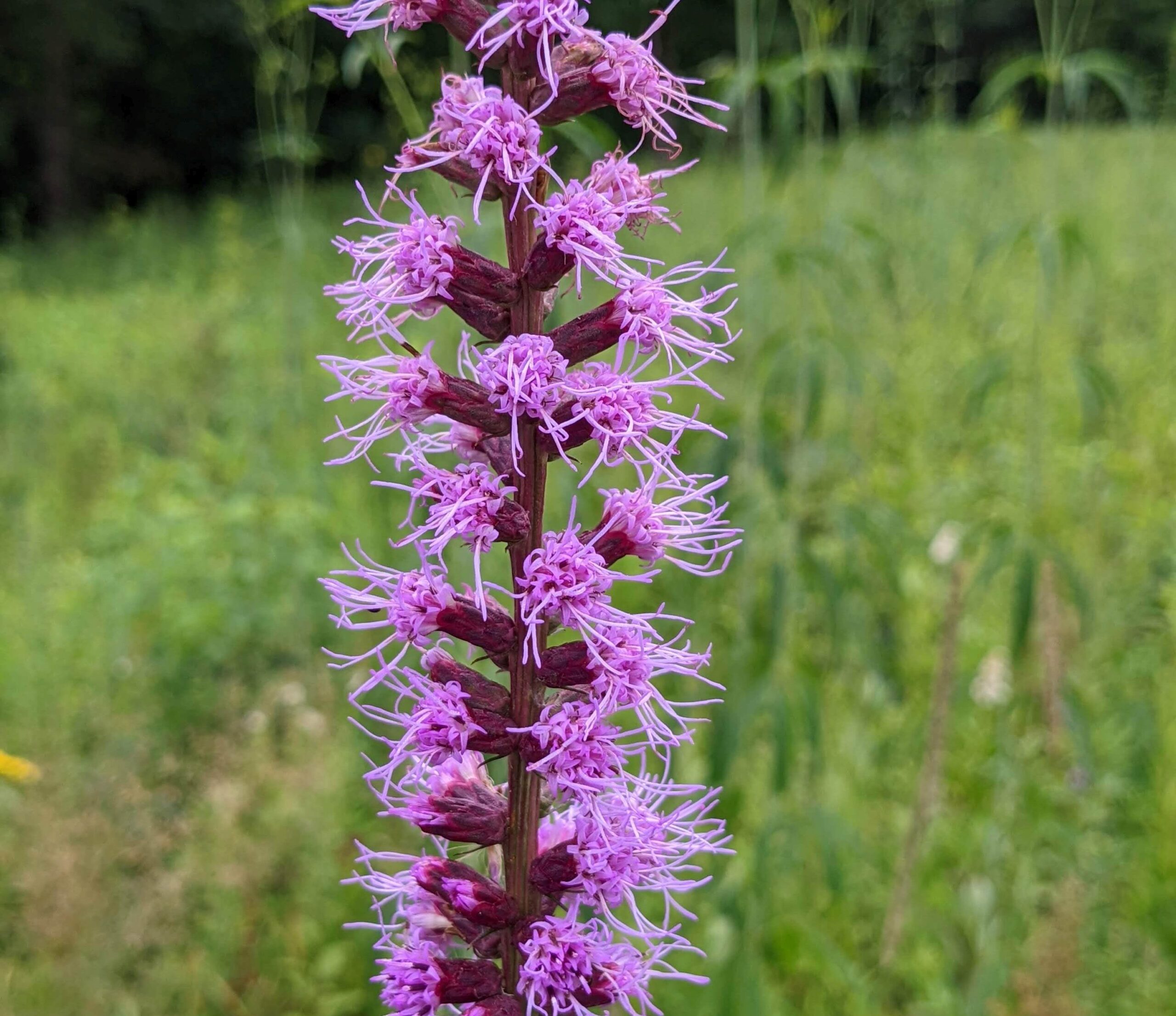
Many people have called this the “most wild” place in all of Ohio (and it is less than a mile from the PA border!). The trail is flat but can be muddy.

Directions: From Exit 36-Brighton of I-376-Beaver Valley Expwy, turn left on Brighton Rd (if coming from south, right if coming from north) and travel a short distance to the first stop sign at Tuscarawas Rd. Turn right and travel 2.8 mile to Lisbon Rd (GCU Credit Union on corner). Turn right onto Lisbon Rd and travel 6.7 miles. (When you reach the intersection with PA 168, continue straight on Lisbon Rd). Keep a lookout for a large stand of pines on the left. At the end of the pines, turn left onto Pancake-Carlson Road. Continue 1.2 miles to the bottom of a hill. After the underpass at the bottom of the hill, look for the parking area on the right before the bridge. There is additional room to park on the side of the road near the underpass. 

GPS coordinates: 40.75219, -80.53779 Google Map Link

Saturday, May 18, 2024, 1:00 PM

Oil Creek State Park, Venango County

Leader: Robert Coxe; 814-775-0005; robcoxe@gmail.com

Directions: Take I-79 north to Exit 116 to head east on I‑80. Travel I-80 east to Exit 29 Barkeyville/PA 8. Travel PA 8 north about 16 miles to Franklin. In Franklin, turn left onto 13th Street to pick up US322 West and PA 417. Travel PA 417 north 12 miles. Turn left onto PA 8 North in Cherrytree and continue about 6 1/2 miles to Titusville. 

At the traffic light just before the Oil Creek bridge, turn right onto Bloss St toward Drake Well Museum.  Go a mile or so to the Jersey Bridge Parking Area on the right, before the other bridge over Oil Creek.  Meet at the parking lot.

We will join members of the local chapter of the Wild Ones to explore the exceptionally diverse Oil Creek Bike Trail.

GPS coordinates: 41.6159, -79.6582 Google Map Link

Sunday, May 19, 2024, 1:00 PM

Pine Ridge Park, near Blairsville, Indiana County

Leader:  Loree Speedy; loreespeedy@gmail.com; (724) 518-6022 cell

Directions: From Pittsburgh, take I-376 east and US-22 east about 45 miles to Blairsville.  Continue past the Walmart and the ramps for US-119, and as you proceed up the mountain, take the second right for Pine Ridge Rd.  Continue a short distance to the park entrance on the left.  Follow the signs for Toms Run pavilion (about 3/4 of a mile).

We will join the Botanical Society of Westmoreland County for an easy stroll and moderate climb.

GPS Coordinates: 40.44467, -79.19351  Google Map Link

Saturday, June 1, 2024, 1:00 PM

Jakes Rocks Overlook, Allegheny National Forest, Warren County 

Leader:  Loree Speedy; loreespeedy@gmail.com; (724) 518-6022 cell

We will join Ava Turnquist, retired Natural Resources Specialist for ANF, to botanize a hardened path through the woods holding botanical surprises in the dense vegetation. A scenic view overlooks the Jackson Bay on the Allegheny Reservoir, Kinzua Dam and the surrounding forest.

Directions: From Pittsburgh, one can reach US 6 outside of Warren, PA, by taking PA Routes 28, 36 and 666 to pick up US 6 west of Sheffield, or by taking I-80, PA Route 8 and  PA Route 27 in Titusville to pick up US 6 east just west of Youngsville.   

At the intersection of US Route 6 and PA 59 west of Warren, travel east on Route 59 for 10 miles. Turn right onto Longhouse National Scenic Byway and continue 1 mile . Turn right onto Forest Road 492. Travel on Forest Road 492 for 1 mile and continue on Forest Road 492 to the right when it splits and follow it to the parking area, approximately 1 mile. We will meet in the Jakes Rock Overlook parking lot, which has a vault toilet.

GPS Coordinates: 41.84867, -78.98219 Google Map Link

Sunday February 25, 2024, 1:00 PM

Search for Winter Fruits and Seeds at Hays Woods, Agnew Road Trailhead,

Allegheny County

Leader:  Loree Speedy; (724) 518-6022/cell or loreespeedy@gmail.com

Directions: Agnew Road in Carrick is off of Becks Run Road, which can be reached from PA 837 in the South Side, or from PA51/Maytide St in the Overbrook neighborhood. Agnew Rd is 1.8 miles from PA 837 in the South Side, by way of Becks Run Rd, or 1.5 miles from PA 51 by way of Maytide St, Biscayne Dr and Becks Run Rd. 

At the intersection of Becks Run Rd and Agnew Rd, continue on Agnew Rd – it will zig zag through the neighborhood – for a little less than a mile to a parking area near a gate. 

GPS coordinates: 40.39829, -79.96317  Google Map Link

Hays Woods is a currently undeveloped city park. We will walk some mild rolling hills and gravel roads for winter plant id.

Trip Report- Jennings Prairie July 21, 2023

The day was partly cloudy, warming to 84 degrees, after the previous evening was blanketed with rain and high winds. Twenty-seven humans and two dogs attended.

There was an accident on Route 79 Northbound which added 20 minutes to the commute time for at least half of the participants, including the leader! Hike didn’t start until 10:15. Five boxes of nature books donated by Susan Varley were displayed and people were asked to take as many as they wanted. Read the list of what we saw here:

Liz announced that there is an ongoing project at the Arboretum at North Park, every Thursday morning to remove invasives and tag natives. Everyone is invited to attend.

The lower trail was flooded, both by the rain and a beaver dam. We had to turn around and double back.

After lunch, a few of us stop at the Butterfly Trail at Moraine to add a few more sightings to our list.

Jennings Field Trip

Friday, July 21, 2023

10:00 AM Jennings Prairie, Leaders:  Dianne and Bob  Machesney

  (C) 412-523-0368

Visit the unique ecosystem at Jennings Prairie.

This is the perfect time to explore the relict prairie. The hot weather brings the stunning Blazing Star and some of the other dazzling summer flowers to peak performance. The goldenrods of fall will begin to show. Don’t miss the spectacular butterflies that grace the prairie with their breathtaking beauty. Flycatchers, vireos, tanagers, Common Yellowthroats and Cedar Waxwings sometimes make an appearance. We may come across a Red Eft, the larval form of a Red-spotted Newt.

Outings are free and open to the public. Bring your friends. Wear a hat and sunscreen. Bring binoculars, field guides, water and a lunch.

After lunch at the gazebo, we will display Sue Varley’s books which she has donated to Wissahickon. We will pull tickets to take turns taking a book until they are all gone.

Directions From Pittsburgh: take I-79 North to Exit 99, New Castle/ Butler. Drive east on Route 422 roughly 5.8 miles to the Prospect Exit. Turn left (north) onto Route 528.

Continue on Route 528 for about 7 miles. Meet in the Jennings Prairie Parking Lot on the left (west) side of the road.

  Susanne Varley     

1-26-54 to 6-2-2023

To:  Wissahickon Nature Club Members and Friends

From:  Dianne Machesney, Treasurer

RE:  Susanne Varley                   1-26-54 to 6-2-2023

With much sadness, Wissahickon Nature Club announces the passing of long- time member and Program Coordinator, Sue Varley, who died of heart failure on Friday, June 2nd.

There will not be a viewing because Sue made pre-arrangements with Pitt to donate her body to science.

Her sister, Caroline, said that they may not get to have her remains to bury for three to twelve months.  At that time there will be a private service at Queen of Heaven Cemetery.

Sue’s faithful companion, Icy Blue, is being adopted by her niece Sarah.

In her will, Sue left all her nature books to the club.  Since we no longer have a physical location, I suggested we give them to our members at the Jennings Hike on July 21st, with any leftovers going to Latodomi Nature Center in North Park.  Caroline agreed that was a good idea.

You may leave your condolences to Sue’s family on her Facebook page. 

Sue was good friends with Chuck Tague, who she meet while volunteering at the National Aviary.  I hope they and Esther Allen are hiking the trails together in heaven.  May they all rest in peace.

Read her obit from the Pittsburgh Post Gazette here: SUSANNE IRENE VARLEY | Obituary | Pittsburgh Post Gazette (post-gazette.com)

Oil Creek State Park, Venango County

Saturday, May 20, 2023, 1:00 PM

Leader: Robert Coxe; 814-775-0005; robcoxe@gmail.com

Directions: Take I-79 north to Exit 116 to head east on I‑80. Travel I-80 east to Exit 29 Barkeyville/PA 8. Travel PA 8 north about 16 miles to Franklin. In Franklin, turn left onto 13th Street to pick up US322 West and PA 417. Travel PA 417 north 12 miles. Turn left onto PA 8 North in Cherrytree and continue about 6 1/2 miles to Titusville. 

At the traffic light just before the Oil Creek bridge, turn right onto Bloss St toward Drake Well Museum.  Go a mile or so to the Jersey Bridge Parking Area on the right, before the other bridge over Oil Creek.  Meet at the parking lot.

GPS coordinates: 41.6159, -79.6582

Old railroad grades are noted for a diversity of wildflowers, and the Oil Creek Bike Trail is exceptionally diverse. Afterwards, Robert has invited us to visit the native plant gardens and nursery at his McMullen House B&B. 

Field Trip May 7, 2023 1:00 PM

Great Gorge Trail, Ohiopyle State Park, Fayette County

Leader: Mark Bowers; monarda55@gmail.com; cell: (724) 454-4012

Directions: From Pittsburgh, take the PA Turnpike to Exit 91 – Donegal. Turn left onto PA 31 East and travel 2.1 miles. Turn right at a traffic light onto PA 711/ PA 381 South and continue 10 miles to a T in Normalville. Turn left onto PA 381 and continue 11 miles to Ohiopyle. Drive through the town and make a right onto SR 2019/Kentuck Road. Travel less than a half mile and turn right into the parking lot for Cucumber Falls.

GPS coordinates: 39.8629, -79.5027

Ohio Pyle

FIELD TRIP Sunday, April 16, 2023, 1:00 PM

Triangle Lake Bog and Herrick Fen State Natural Area, near Ravenna, Ohio

Leader: Mary Schilstra; cell: (330) 354-1694; or kmschilstra@gmail.com

Directions: Take the PA Turnpike into Ohio and continue to Exit 218 Jackson Interchange for I-76W. Travel I-76 west for 21 miles to Exit 38 (OH‑5/OH‑44). Turn right onto OH-44 for 1/2 mile then keep left to continue on S Prospect St for 1/2 mile. Turn left onto Sandy Lake Rd. Travel 1.1 mile to the Nature Preserve’s parking area on the left. Meet in the parking lot. 

GPS coordinates: 41.1235, -81.2631

We will explore the blooming leatherleaf and budding tamaracks at this “kettle hole” bog with a cold deepwater lake at its center. After we explore Triangle, we will head 10 miles north to explore fen, bog, woodland and beaver ponds of Herrick Fen Nature Preserve. The sites can be enjoyed from the boardwalk and trails, so there is no need to wear waterproof knee boots. No pets are allowed in these state natural areas.

March 26, 2023 Field Trip

Snow Trillium

Sunday March 26, 2023 1:00 PM


Little Sewickley Creek outside of Herminie, Westmoreland County
This is a favorite trip for early spring ephemerals and Snow Trillium. The walk is along a muddy old railroad grade with some minor obstacles.
Directions: We will meet at a large community parking lot and then carpool about 1/2 mile downhill to the walking trail.

GPS coordinates of the parking lot = (40.26126, -79.72123). This is across from the Dairy Queen (1493 Herminie West Newton Rd) and the local convenience store/gas station. If you are late, you can join us at the trailhead (40.26050, -79.72700), but parking may be tricky.

GPS coordinates: 40.26126, -79.72123.

If you need written directions to the site, please contact Loree at loreespeedy@gmail.com or 724-518-6022.

Winter Field Trip

Saturday, January 21, 2023, 1:00 PM

Cedar Creek Gorge, Westmoreland County

Leaders: Mark Bowers, cell 724-454-4012; monarda55@gmail.com

Directions:  From Pittsburgh, travel PA 51 south to its junction with PA 201 (just after Bills and Willowbrook Plaza). Continuing on PA 51, travel 2 additional miles to the traffic light for Concord Ln (Honda and Ford car dealership on right) and turn left.  Traveling on Concord Ln, turn left onto Municipal Dr. Continue about 0.6 mile past Timm’s Lane, and turn left into the main entrance to Cedar Creek Park. Follow this road downhill, cross the bike trail, and turn left to continue through a series of parking lots until you reach the farthest parking lot, near the Gorge Trail.

GPS coordinates: 40.17830, -79.77820